")
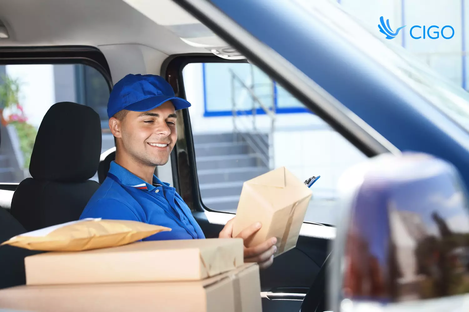
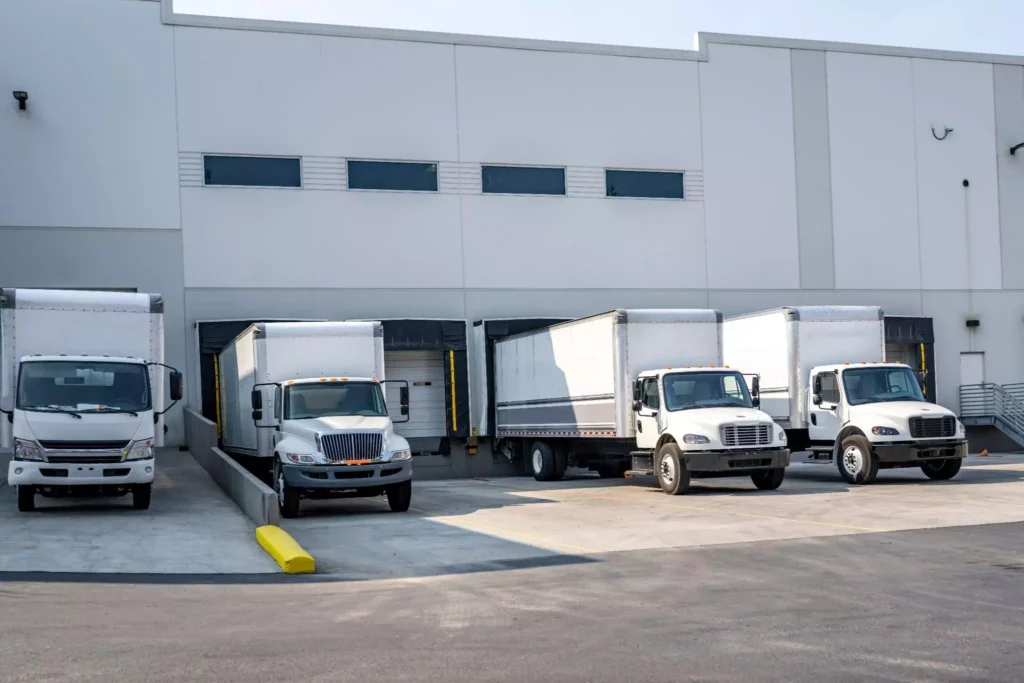
The last mile is the costliest and most complex part of the supply chain. Customers expect tighter delivery window commitments, higher accuracy, and real-time updates, especially for on-demand deliveries.
Without strong location intelligence, it is hard to meet a narrow delivery window cost-effectively or at scale. Geo-fencing helps by sharpening ETA accuracy, enabling dynamic routing, and triggering timely customer notifications.
In practice, tools like CIGO Tracker pair geofences with live GPS and order data, so teams can plan for realistic delivery windows and adjust sequencing as conditions change.
Key takeaways
- Geo-fencing makes delivery windows reliable. Automatic enter/exit events sharpen ETAs, log dwell, and create an audit trail without manual check-ins.
- Notifications cut missed handoffs. Approaching and arrival alerts reduce “where is my order” calls and help customers meet drivers on time.
- Routing improves when fences drive actions. Live fence events trigger resequencing, protected ETAs, and proactive recovery before delays spread.
- Measure performance by zone. Track on-time rate, first-attempt success, dwell minutes, and deviations per geofence to find bottlenecks fast.
- CIGO Tracker advantage. Fast fence creation at scale, AI-backed reoptimization, unified dashboards, and exportable logs that support audits and SLA proof.
What Is Geo‑Fencing in the Logistics Context?
More than 86 % of buyers will pay more for great customer service, and it takes 12 positive experiences to make up for one unresolved negative experience. (ImpactMyBiz)
Meeting your delivery window is part of that customer experience, so every minute matters.
Definition and How It Works
Geo‑fencing is the practice of drawing virtual boundaries around a physical area using GPS coordinates, cellular, or Wi‑Fi signals. When a device with location services, such as a driver’s smartphone or vehicle telematics unit, crosses that boundary, the system triggers an action.
This could be logging the arrival time, sending an SMS to the customer, updating the dispatch dashboard, or marking the stop as complete with electronic proof of delivery (ePOD).
In summary, geofences are digital boundaries that alert logistics providers when an asset enters or exits the area and record how long it stays there.
Real‑Time vs. Static Geo‑Fences
Geo‑fences can be static or dynamic:
- Static geofences stay fixed around known locations such as distribution centers, stores, or high‑density customer clusters. They help automate check‑ins, log arrival and departure times, and trigger gate‑access protocols.
- Dynamic geofences are created on the fly. When a driver receives a new on-demand delivery order, a geofence forms around the pickup and drop‑off address. This allows your system to monitor real‑time progress and adjust the route as conditions change.
The flexibility of dynamic geofences is key for on-demand deliveries where stops are not known at the start of the shift. Your route planning engine can create, modify, and dissolve geofences automatically without dispatcher intervention.
Strategic Role in Fleet Operations
When integrated with your route optimization and telematics software, geo‑fencing supports several operational functions:
- Automated check‑in/out logs. As soon as a truck enters a geofenced delivery zone, the system timestamps the arrival and alerts warehouse staff. When it leaves, it logs departure. This automation eliminates manual driver check‑ins and creates a reliable audit trail.
- Accurate arrival/departure timestamps. Precise data improves ETA calculations and lets you measure dwell time per stop. This is essential for benchmarking performance.
- Customer notifications. Trigger SMS or in-app messages when the driver is five minutes away or has arrived, supported by live ETA notifications.
- Real‑time ETA adjustments. By knowing exactly when the driver enters or exits zones, your system can recalculate ETAs and update customers proactively. In high‑density routes, this can mean the difference between hitting or missing your delivery window.
The Operational Benefits of Geo‑Fencing for Modern Delivery Windows
When geofences link to live data, location events become reliable actions. The sections below cover sharper ETAs, stronger SLA and proof-of-delivery records, better customer notifications, and smarter use of vehicles and time.
Pinpoint ETA Accuracy and Reduced Wait Times
Customer satisfaction hinges on accurate ETAs. Geofencing enhances ETA accuracy because it records the moment a vehicle crosses a virtual boundary and can adjust the remaining travel time accordingly.
Data from Research Gate on real-time arrival information shows that it reduces perceived wait and helps people time their arrival more precisely, which supports fewer “where is my order” contacts.
By cutting guesswork, you deliver within tighter windows and reduce the time customers spend waiting at home.
Enhanced SLA Compliance and Proof of Delivery Timing
For many businesses, including B2B retailers, medical suppliers, and regulated sectors, documenting on-time performance is critical.
Geofencing records when a vehicle enters and exits a delivery zone and creates a clear arrival and departure trail. This data supports legal audits, contract compliance, and internal reporting. If there is a dispute over arrival times, you have an unambiguous record.
Real‑Time Notifications to Customers
Your customers do not want to guess when the truck will arrive. Combined with SMS or app push notifications, geofencing removes manual calls and lowers “where is my order” contacts.
Studies on real-time information in transit show that timely updates shorten perceived wait and improve the customer experience, which is directly relevant to delivery notifications as a final-mile analog.
Better Use of Fleet Resources
Dispatchers often juggle multiple vehicles and must decide who should take the next job. Geofencing provides live visibility into which drivers are inside or outside specific zones so tasks can be reassigned before delays cascade.
Congestion remains a persistent pressure across U.S. metros, which is why dynamic, geofence-driven updates and routing adjustments matter for hitting each delivery window.
Reduction in Failed or Late Deliveries
Failed deliveries and missed windows are expensive.
Geofencing reduces these failures by detecting delays early. For example, if a driver leaves a pickup late, the system can automatically inform the customer via proactive customer communication and adjust the drop-off order.
Geofencing also enforces route compliance; managers receive alerts if a driver deviates from the permitted route. That means you know when a delivery is at risk and can reroute or reschedule before the window is missed.
How Geo‑Fencing Enables More Profitable On-Demand Deliveries
Here’s how geo-fencing plays out in high-density zones and how intelligent rerouting keeps sequences efficient when new orders arrive.
Contextual Routing for High‑Density Zones
On-demand deliveries, such as food, groceries, or same‑day retail, often require multiple stops within tight geographic areas.
Geofencing allows you to define zones around high‑density customer clusters and use them as building blocks for optimized routes.
By routing drivers through geofenced clusters rather than individual addresses, you reduce total driving distance and service time.
Intelligent Rerouting in Real Time
Orders can arrive while a driver is already on the road, so dynamic geofencing plus real-time traffic data should make rerouting seamless. U.S. DOT research on the FRATIS bundle shows that dynamic, information-driven freight routing can cut travel times and improve reliability, reinforcing the value of triggering reoptimization as conditions change.
For a large-scale proof point, UPS’s dynamic ORION rollout reduced route length by an average of two to four miles per driver by reoptimizing routes as new information arrived.
For example, when a new order is placed two blocks from the driver’s current location, the system can set a geofence around the new address and automatically slot the stop into the sequence.
The driver’s app updates the route, and the customer gets a realistic ETA.
Driver Accountability and Turnaround Efficiency
Because geofencing logs actual arrival and departure times, you can measure the true time spent at each stop. This helps identify bottlenecks (e.g., long dwell times, slow unloads) and spot underperforming drivers.
Over time, these insights inform staffing decisions, performance incentives, and training programs. Real‑time data also enables faster turnaround: as soon as a driver leaves a zone, the next job is assigned, maximizing productive time.
Key Use Cases for Geo‑Fenced Delivery Windows by Industry
The following examples walk through how that looks in retail and e-commerce, healthcare and pharma, and other high-stakes delivery settings.
Retail & E-Commerce Deliveries
Use geofences at the curb or building perimeter to trigger accurate arrival and dwell events, then send real-time notifications that reduce customer wait and WISMO.
Studies on real-time arrival info show mobile updates cut perceived wait by about 1–2 minutes, helping shoppers time the handoff and tightening the delivery window.
Healthcare & Pharmaceuticals
Pair route geofences with temperature sensors to protect cold-chain integrity and create a defensible audit trail. Industry analyses note that geofencing can alert teams to route deviations or unauthorized areas in real time, enabling rapid intervention before a temperature excursion or chain of custody issue occurs.
Freight & B2B Distribution
At warehouses and yards, use geofences for automatic gate-in/gate-out timestamps and to trigger dock sequencing.
Research from the Urban Freight Lab shows that structured appointment and arrival controls improve yard efficiency by cutting rehandles and transaction times; exactly the sort of outcomes geofence-driven arrival detection supports.
Food & Grocery Delivery
Combine small, address-level geofences with dynamic routing to add hot orders mid-run and keep ETAs realistic. Recent academic work from MDPI on on-demand food delivery shows that periodic reoptimization using live order status and preparation times reduces delays and improves delivery precision.
This is evidence for geofence-triggered resequencing in busy service areas.
5 Tactical Ways Geo‑Fencing Can Optimize Your Delivery Windows
Now that the big-picture benefits are clear, let’s get practical. These are field-tested moves that tighten delivery windows and keep routes on track, written as short playbooks instead of bullet points.
Define High-Priority Zones Near Peak Customers
Use order history to map your densest areas and draw geofences that match real demand. Start with a few zones per city, such as downtown blocks, business parks, and key retail clusters, and shape them to the street grid rather than a perfect circle to reduce false enters and exits.
Revisit zone boundaries each quarter as demand shifts, seasonal patterns emerge, or construction changes access. The payoff is less cross-town driving, more compact routes, and delivery windows that hold.
Trigger Dispatch Behavior With Entry And Exit Events
Let status change automatically when a driver crosses a fence, so work keeps moving without extra calls.
Leaving the warehouse can mark a route as active and assign the next pickup if capacity allows. Entering a customer fence can start the stop timer and send an arrival update.
If dwell time runs long, dispatch gets an alert and resequences the remaining stops before delays spread. A short grace period at each fence helps avoid rapid in-and-out events on corner lots.
Capture Service Time At The Curb
Measure the true time from arrival to departure at every stop and feed those actuals back into planning. Compare them to planned service times by customer, product, and time of day.
Tag exceptions with quick reason codes like gate delay, missing contact, or heavy unload. As the estimates improve, delivery windows become realistic and stay accurate across shifts.
Use Geofence Triggers For Customer Communications
Connect geofence events to SMS or app updates so customers are ready at the right moment. Send a heads up when the driver is approaching, confirm on arrival, and close the loop on departure.
Offer fast actions such as reschedule, safe drop, or locker pickup to prevent failed attempts.
Clear, timely messages reduce missed handoffs and cut call volume while keeping expectations aligned with live ETAs.
Enable exception reporting with geo-tagged KPIs
Name fences clearly and review performance by zone so patterns stand out.
Track on-time rate by window, first-attempt success, dwell minutes, and route deviation. When a zone shows repeated late arrivals or high idle time, adjust rules, staffing, or access instructions.
A short weekly review turns insights into rule changes, and those rule changes turn into fewer failures the very next week.
Integrating Geo‑Fencing With Automated Dispatching Systems (Like CIGO Tracker)
Geofences matter most when they drive decisions. Connected to automated dispatch, they update driver status, resequence stops, and align ETAs with the promised delivery window.
The next section moves from static planning to intelligent routing, then shows how delivery window management works in real time.
From Static to Intelligent Routing
Traditional static route plans assign deliveries based on distance or region and remain unchanged throughout the day.
But real-world conditions, traffic, weather, and new orders render static plans obsolete.
An intelligent system that pairs geofencing with real-time data in modern delivery dispatch software continuously reorders stops for optimal efficiency.
CIGO Tracker’s route optimization engine uses geofencing signals, real‑time traffic information, and service windows to recompute routes on the fly. Drivers see updated sequences on their mobile app, and dispatchers monitor compliance through the dashboard.
Geo‑Fence Enabled Delivery Window Management
Automated Dispatch Systems align ETA calculations with the customer’s delivery window. The moment a driver leaves the previous stop, these systems compute how long it will take to reach the next geofence and whether it fits within the promised window.
If there’s a risk of missing the window, the system proactively suggests route adjustments or sends a heads‑up to the customer. This ensures your promises remain accurate and builds trust.
Seamless Driver and Dispatch Coordination
Drivers love clarity. When geofencing is integrated with dispatch, they no longer need to scan barcodes or call dispatch when they arrive; the system updates automatically. Dispatchers receive alerts if a driver takes an unauthorized route or spends too long at a stop, then manage exceptions and resequence work in the Planner.
The CIGO Tracker Advantage: Purpose‑Built Geo‑Fencing for Logistics
Geo‑fencing is a feature that must be tailored to logistics workflows. Here’s how CIGO Tracker’s platform stands out.
Flexible Geo‑Fence Creation at Scale
We allow you to create geofences via address, coordinates, or radius from our web dashboard or driver mobile app. Need to geofence a large retail park or a one‑off on-demand pickup? Create, modify, or delete geofences instantly.
For businesses with thousands of delivery zones, our bulk import tools make setup simple.
Dynamic Routing Around Real‑Time Data
Our routing algorithm integrates geofencing with traffic conditions, order priority, service time, and capacity constraints. If a driver is delayed leaving a zone, the next stop’s ETA automatically updates, and the sequence may be swapped.
For on-demand deliveries, we seamlessly add new geofences to the route plan. This dynamic approach uses real‑time data and geofences to modify routes for on‑demand services.
Analytics Dashboard: Location‑Level Performance
Our analytics dashboard displays dwell times, on‑time performance, and service durations per geofence. You can identify chronic bottlenecks (such as a loading dock that causes long waits or a downtown area with heavy traffic) and adjust schedules or staffing.
Because geofencing logs are tied to order IDs, you can export data for regulatory audits or dispute resolution.
Overcoming Common Challenges When Implementing Geo‑Fencing
The biggest hurdles are urban GPS accuracy, clean integrations, and driver adoption. This section shows how to tune fence sizes and buffers, connect routing and ERP systems with open APIs, and train drivers so the workflow feels effortless.
GPS Accuracy and Urban Environments
High‑rise buildings and dense urban canyons can distort GPS signals. To mitigate this, set smaller radius geofences with buffer windows so minor GPS drift doesn’t trigger early or late events.
Where possible, use hybrid positioning that combines GPS with cellular and Wi‑Fi triangulation. In extremely dense areas, some carriers support network‑based location services that improve accuracy.
Technical Integration with Route Optimization Tools
Your geofencing system must integrate with route planning, dispatch software, and enterprise resource planning (ERP) systems.
Look for platforms that provide open APIs or native integrations. CIGO Tracker offers plug‑and‑play integrations with major TMS, WMS, and CRM systems so you can unify your tech stack.
Driver Adoption and Behavior Adaptation
Some drivers may resist new technology or worry about being monitored. Communicate that geofencing is a tool that helps them by automating check‑ins and reducing paperwork.
Provide training on how geofences trigger job status changes and how they can view updated routes on the app. Incentivize compliance with bonuses for on‑time performance and safety.
Best Practices for Adopting Geo‑Fencing in Last‑Mile Delivery
Start small, measure, and refine. Map your flow, set fence sizes that fit the terrain, tie events to messages and KPIs, then review weekly so rules improve and delivery windows stay reliable.
Here are some best practices for adopting Geo-fencing in last-mile delivery:
- Map your delivery flow. Identify natural trigger points (e.g., warehouse exits, delivery clusters) and design geofences accordingly.
- Calibrate fence parameters. Use smaller radii in dense urban areas and larger radii in rural areas to accommodate GPS variance.
- Iterate with data. After deployment, analyze dwell times, on‑time percentages, and idle times per fence to refine boundaries and service times.
- Standardize naming conventions. Use consistent tags (e.g., city‑zone‑store) for easy reporting and analytics.
- Integrate customer communications. Connect geofence events to your notification system so customers receive real‑time alerts. Provide choices like rescheduling, safe drop, or locker pickup.
- Review and iterate. As you accumulate more data, adjust geofence size, route sequencing, and customer communication rules. The goal is continuous improvement.
Scalable Delivery Accuracy Starts at the Digital Perimeter
Geo‑fencing transforms how logistics teams manage delivery windows. Rather than relying on manual check‑ins and static plans, you can automate arrival logs, adjust ETAs in real time, and provide customers with precise updates.
When you align geofencing with route optimization and communications tools, you move from manual to predictive delivery management. The result is tighter delivery windows, fewer failed deliveries, and happier customers.
Turn live signals into on-time deliveries. Schedule a working session with CIGO Tracker to connect geofences to route sequencing and customer communications.
FAQs About Geo‑Fencing and Delivery Windows
How does geo‑fencing help with delivery windows?
Geo‑fencing automatically logs when a vehicle enters and exits a delivery zone. This provides precise arrival and departure timestamps that power accurate ETA calculations.
With real‑time crossing events, your system updates the expected arrival window as conditions change and triggers notifications to the customer.
Is geo‑fencing useful for both scheduled and on-demand deliveries?
Yes. In scheduled routes, static geofences around known stops automate check‑ins and departure logs. For on-demand services, dynamic geofences are created on the fly around new addresses.
Geofencing allows on‑demand platforms to modify routes in response to real‑time traffic and high‑demand areas. This means that it supports both predictable and unpredictable delivery models.
Can geo‑fences reduce late delivery penalties?
Absolutely. By detecting delays early (such as a driver leaving a pickup late or deviating from the assigned route), geofencing enables proactive rerouting or rescheduling. Real‑time notifications alert customers and dispatchers, reducing the chance of missing the delivery window.
The data also helps you argue against penalty charges because you have proof of on‑time arrival or unavoidable delays.
Will this work with my existing routing or telematics software?
Most modern platforms support geo‑fencing through built‑in features or APIs. CIGO Tracker offers APIs and integrations that allow you to add geofencing to your existing telematics and dispatch stack without a major IT project.
What’s the setup time to get geo‑fencing operational?
Most teams can stand up a basic geofencing workflow in a short runway, but timing depends on data readiness and how many systems you connect.
If your locations are clean and you start without deep integrations, you can import stops, draw zones, and begin capturing enter, exit, and dwell events quickly.